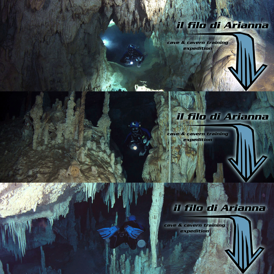

Cenote Minotauro, which gives its name to the whole system, is located 1 km inland across
the beach of Xpu Ha. 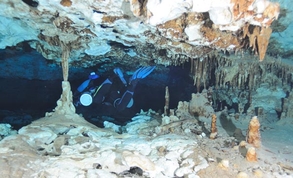 by Attilio Eusebio
The system included, as of June 2011, 5 cenotes and 3183m / 10,440ft of surveyed underwater caves.
At that time, Etienne R. and Karin P. asked me to participate in a cartography project of the whole system. Unfortunately, a few months later Etienne and Karin had to return to Canada, and I decided to complete the project alone.
Initially, we divided the work into three sections: Etienne was assigned to the up-stream section, Karin the down-stream section and I to the El Oriente section. El Oriente was so named by theinitial explorers, and forms a second down-stream that runs towards the East, however, further probably deviates from this general direction, blocked by a ridge formed in the Pleistocene.
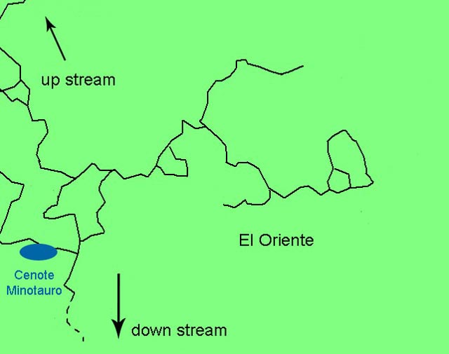
Clearly, the first thing we had to do
was completely resurvey the existing guidelines. Within two dives I was able to survey 992m / 3250ft of existing guidelines
in El Oriente.
The water flow is evident in all branches of the section, and following it, I was able to identify several
unexplored passages; all of them are very small, with many restrictions allowing passage in sidemount only.
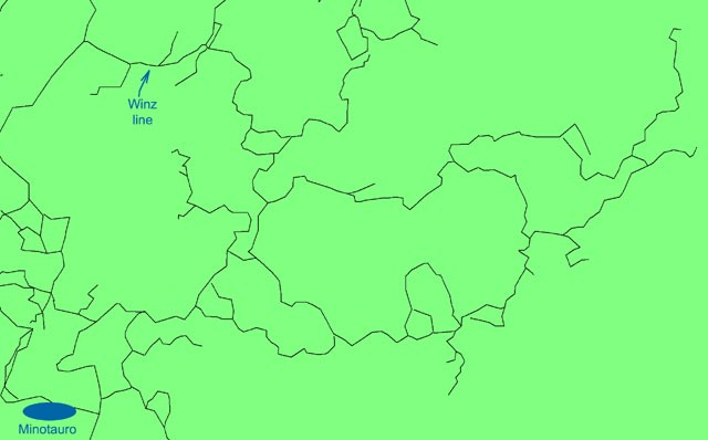
Between June and October of 2011, I explored
2635m / 8647ft of new passages, closing various circuits and connecting a branch in the North of El Oriente with
the cave that leads to Cenote Winz.
Following the departure of Etienne and Karin, I also explored some of the passages in the down-stream and
up-stream, where I reduced the distance with system Taj Mahal to 47m / 156ft.
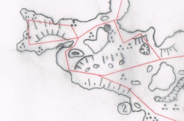
The labyrinthine complexity of the system, the variety of features and magnitude of some of the rooms and the connections between the tunnel forced me, to lay numerous lines. This allowed the survey to have the largest possible number of reference points allowing detailed results. This also greatly increases the time spent in the water to draw.
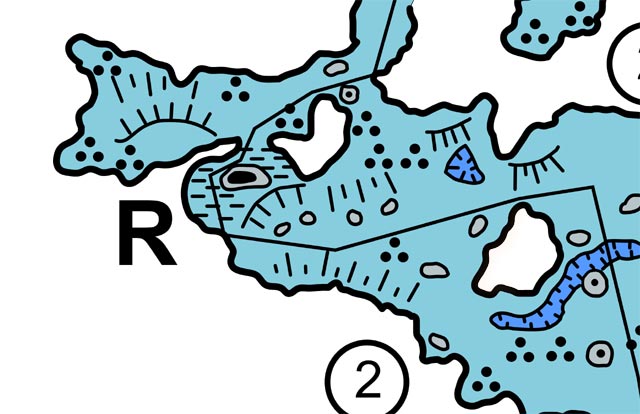
The data obtained by underwater collection/sketching was immediately digitized with a vector graphic software. The various individual sections were then assembled directly by this software. This eliminates the step of transcribing everything onto a master sketch which then is digitized. The end result is a digital map that can be printed and displayed in different sizes.
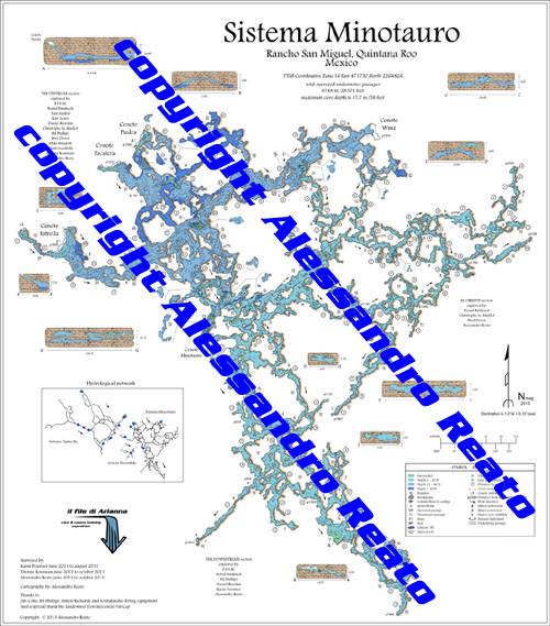
In December 2013, after more than two years
since the beginning of the project, the mapping was completed.
The numerous passages explored during the survey, plus
all the unreported existing lines, have substantially changed the size of the system which now measures 8,739m/29,438ft.
The following cenotes are now part of the system: Minotauro, Estrella, Escalera, Piedra, Winz and another very small one
in the center of the depression that separates this system from the nearby Taj Mahal.
I am sure that the water flowing
into the system Minotauro can only arrive there from the system Taj Mahal, but apparently it is impossible for a diver
to swim from one to another.
To finish the map, a total of 75 dives were required with over 184 hours spent underwater, not to mention time spent to digitize the drawings.
I still feel compelled to thank all those who have helped me in this project, in particular: Jim Coke, Bil Phillips and Simon Richards for their continued support; Guido Lapucci (owner of Scubalandia) for the provision of first-rate diving equipment; Don Inocencio Cap Pat, the owner of Rancho San Miguel.
The map was presented at NSS Cartographic Salon 2014, where it received an Honorable Mention in the Experienced Category.
It is available in the Quintana Roo Speleological Survey selling outlets in size 50 cm x 60 cm on plastic sheet.
For Europe only, it is available on 200gr glossy paper, 60cm x 70cm. Send an e-mail to request your copy.